Error loading page.
Try refreshing the page. If that doesn't work, there may be a network issue, and you can use our self test page to see what's preventing the page from loading.
Learn more about possible network issues or contact support for more help.

Prisoners of Geography

Our World Explained in 12 Simple Maps (Illustrated Young Readers Edition)

ebook
1 of 1 copy available

"For curious children ages 7–15, Prisoners of Geography has lots to fascinate."—The Wall Street Journal

The secret world history written in the mountains, rivers, and seas that shape every country's politics, economy, and international relations—and our own lives—is revealed in this illustrated young readers edition of Prisoners of Geography, the million-copy international bestseller.

History is a story—and it's impossible to tell the whole tale without understanding the setting. In this eye-opening illustrated edition of the international bestseller Prisoners of Geography, you'll learn to spot connections between geography and world affairs in ways you never noticed before.
  • How did the US's rivers help it become a superpower?
  • Why are harsh, cold and swampy Siberia and the Russian Far East two of that country's most prized regions?
  • How come Japan prefers to trade along the coasts instead of across its land?
  • What do the Himalayas have to do with war?

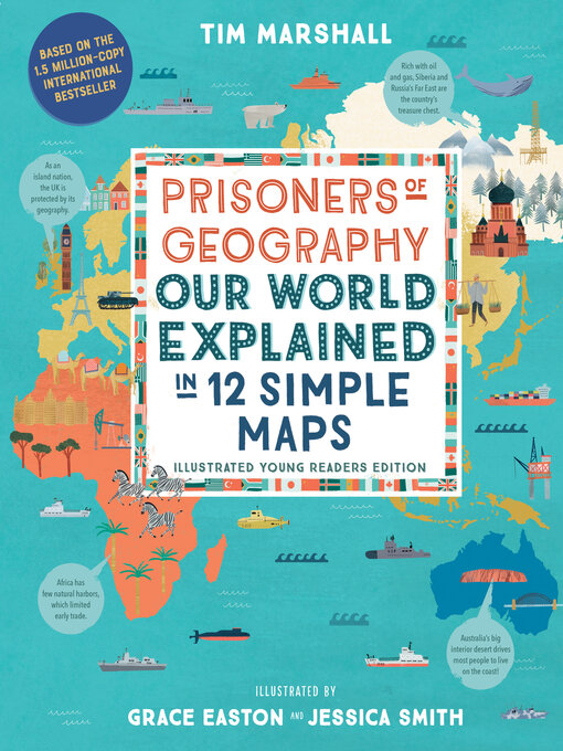
  • With colorful maps that capture every continent and region, plus hundreds of illustrations that illuminate how our surroundings shape us, this one-of-a-kind atlas will inspire curious minds of all ages!
    • Creators

    • Publisher

    • Release date

    • Formats

    • Languages

    • Reviews

      • Kirkus

        July 15, 2021
        Condensed from an adult series, a big-picture overview of how geography has influenced the development of modern nations and international trade. Marshall's fat Prisoners of Geography (2015) and select chapters (on Australia and Canada) from his upcoming Power of Geography (Nov. 2021) have been transformed into a dozen large infographic maps with follow-up commentary. It's all designed to highlight the roles geophysical features, or the lack thereof, have played in shaping trade and politics. Readers will find both broad-brush accounts of historical incidents and themes and closer looks at cases in point. The point, for instance, that ignoring natural borders to lay out arbitrarily drawn ones (like those created in the Middle East after World War I) inevitably leads to long-term states of conflict is convincingly made. The maps themselves, many designed to demonstrate a specific point, are a patchy mix of single countries, whole continents, and general regions like Latin America (depicted as Mexico to Cape Horn). Some visuals, such as an outline of Africa with silhouettes of the U.S., China, and several other large countries fitted within like pieces of a jigsaw puzzle, will make a larger impression on young viewers than, for instance, a schematic map of Europe festooned with pie charts showing the percentage of natural gas select countries import from Russia. Human figures are rare, generic, and used largely as decorative elements. (This book was reviewed digitally.) Persuasive, if distinctly rushed and slanted more toward economic than cultural history. (Informational picture book. 8-11)

        COPYRIGHT(2021) Kirkus Reviews, ALL RIGHTS RESERVED.

    Formats

    • OverDrive Read
    • EPUB ebook

    Languages

    • English

    Loading